
Page 154 - Basic Well Log Analysis for Geologist
P. 154
LITHOLOGY LOGGING AND MAPPING TECHNIQUES
a a
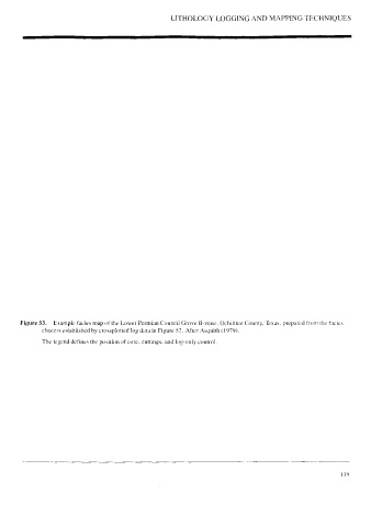
Figure 53. Example facies map of the Lower Permian Council Grove B-zone, Ochiltree County, Texas, prepared from the facies
clusters established by crossplotted log data in Figure 52. After Asquith (1979).
The legend defines the position of core, cuttings, and log-only control.