
Page 264 - Build Your Own Quadcopter_ Power Up Your Designs with the Parallax Elev-8
P. 264
Chapter 9: Airbor ne V ideo Systems 243
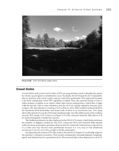
Figure 9.18 50-m (54.68-yd) range check.
Ground Station
Ground station and ground control station (GCS) are general terms used to describe the means
by which a quadcopter is controlled by a user. Normally, the GCS is just the R/C transmitter
that an operator with visual contact uses to control the quadcopter. This approach becomes
a bit more complicated when FPV capability is added. Now, the operator needs to have a
video monitor available as an option rather than always maintaining a direct line of sight
with the aircraft. Add in some telemetry, and the GCS can rapidly expand to become quite
complex. My first attempt at creating a GCS will be to add a WiFi-enabled Android tablet to
the Spektrum DX-8 transmitter and house both of them in an aluminum case. This setup
allows the operator to use the DX-8 and simultaneously view the tablet screen while walking
around. This simple GCS is shown in Figure 9.19 with a lanyard attached. This allows it to
be easily managed in a hands-free manner.
The Spektrum telemetry is also displayed in the DX-8 LCD screen, which helps minimize
the number of displays needed for this GCS. Using the DX-8 and Android tablet should
suffice for most quadcopter operations that are held in a relatively restricted area. Operations
in a wider area may become more problematic because it is very easy to lose situational
awareness if you are out of line of sight with the quadcopter.
Incorporating the remote GPS data system described in Chapter 8 would help improve
the operator’s situation awareness. That system continuously transmits latitude, longitude,
speed, and altitude back to a ground receiver. The received data is than displayed on an LCD