
Page 88 - Highway Engineering Handbook Building and Rehabilitating the Infrastructure
P. 88
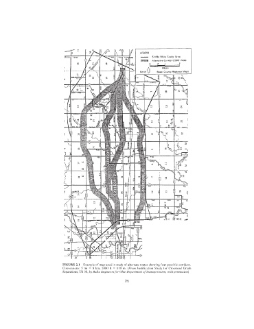
FIGURE 2.1  Example of map used in study of alternate routes showing four possible corridors.
                               Conversions: 5 mi   8 km, 2000 ft   610 m. (From Justification Study for Crossroad Grade
                               Separations, US 30, by Balke Engineers for Ohio Department of Transportation, with permission)

                                                             71