
Page 28 - Intro to Space Sciences Spacecraft Applications
P. 28
Introduction and History 15
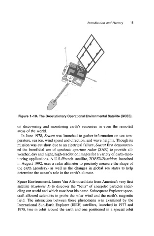
Figure 1-10. The Geostationary Operational Environmental Satellite (GOES).
on discovering and monitoring earth’s resources in even the remotest
areas of the world.
In June 1978, Seasat was launched to gather information on sea tem-
perature, sea ice, wind speed and direction, and wave heights. Though its
mission was cut short due to an electrical failure, Seasat first demonstrat-
ed the beneficial use of synthetic aperture radar (SAR) to provide all-
weather, day and night, high-resolution images for a variety of earth-mon-
itoring applications. A U.S./French satellite, TOPEWPoseidon, launched
in August 1992, uses a radar altimeter to precisely measure the shape of
the earth (geodesy) as well as the changes in global sea states to help
determine the ocean’s role in the earth’s climate.
Space Environment. James Van Allen used data from America’s very first
satellite (Explorer I) to discover the “belts” of energetic particles encir-
cling our world and which now bear his name. Subsequent Explorer space-
craft allowed scientists to probe the solar wind and the earth’s magnetic
field. The interaction between these phenomena was examined by the
International Sun-Earth Explorer (ISEE) satellites, launched in 1977 and
1978, two in orbit around the earth and one positioned in a special orbit