
Page 318 - Petroleum Geology
P. 318
290
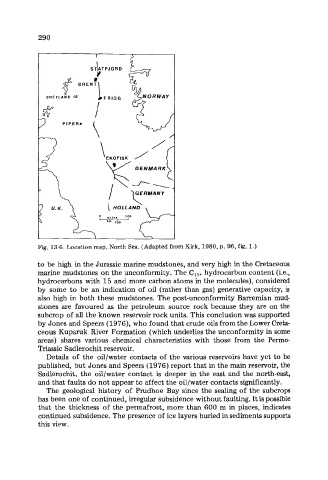
Fig. 13-6. Location map, North Sea. (Adapted from Kirk, 1980, p. 96, fig. 1.)
to be high in the Jurassic marine mudstones, and very high in the Cretaceous
marine mudstones on the unconformity. The C, 5+ hydrocarbon content (ie.,
hydrocarbons with 15 and more carbon atoms in the molecules), considered
by some to be an indication of oil (rather than gas) generative capacity, is
also high in both these mudstones. The post-unconformity Barremian mud-
stones are favoured as the petroleum source rock because they are on the
subcrop of all the known reservoir rock units. This conclusion was supported
by Jones and Speers (1976), who found that crude oils from the Lower Creta-
ceous Kuparuk River Formation (which underlies the unconformity in some
areas) shares various chemical characteristics with those from the Permo-
Triassic Sadlerochit reservoir.
Details of the oil/water contacts of the various reservoirs have yet to be
published, but Jones and Speers (1976) report that in the main reservoir, the
Sadlerochit, the oil/water contact is deeper in the east and the north-east,
and that faults do not appear to affect the oil/water contacts significantly.
The geological history of Prudhoe Bay since the sealing of the subcrops
has been one of continued, irregular subsidence without faulting. It is possible
that the thickness of the permafrost, more than 600 m in places, indicates
continued subsidence. The presence of ice layers buried in sediments supports
this view.