
Page 389 - Volcano and Geothermal Tourism
P. 389
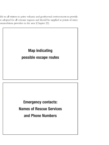
an overview of the area and emergency shelters etc. The template shown can be adopted for all volcanic regions and should be supplied at points of entry
                   The following are recommendations for a Fact Sheet that should be made available to all visitors to active volcanic and geothermal environments to provide


                                                     Map indicating   possible escape routes             Emergency contacts:   Names of Rescue Services   and Phone Numbers

                         to national parks, through tour operators, information centres and through accommodation providers in the area (Chapter 22).


 App3.indd   355 Appendix 3      Hazard maps come in different designs, but should be easy to interpret for  inexperienced visitors of active volcanic areas. For example, the island of  Hawai‘i is divided into coloured and numbered zones according to the  degree of hazard from lava flows. Zone 1 is the area of the greatest hazard,  Zone 9 of the least. Other maps are colour coded only.  Symbols and pictograms  for visual recognition of key points  Shelters, First Aid, Emergency Phones etc  3/28/2010   1:25:53 PM