
Page 94 - Moving the Earth_ The Workbook of Excavation
P. 94
SURVEYS AND MEASUREMENTS
2.44 THE WORK
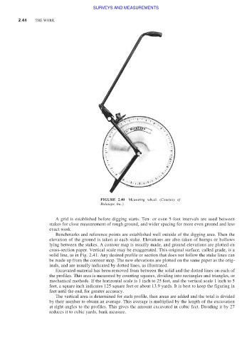
FIGURE 2.40 Measuring wheel. (Courtesy of
Rolatape, Inc.)
A grid is established before digging starts. Ten- or even 5-foot intervals are used between
stakes for close measurement of rough ground, and wider spacing for more even ground and less
exact work.
Benchmarks and reference points are established well outside of the digging area. Then the
elevation of the ground is taken at each stake. Elevations are also taken of humps or hollows
lying between the stakes. A contour map is usually made, and ground elevations are plotted on
cross-section paper. Vertical scale may be exaggerated. This original surface, called grade, is a
solid line, as in Fig. 2.41. Any desired profile or section that does not follow the stake lines can
be made up from the contour map. The new elevations are plotted on the same paper as the orig-
inals, and are usually indicated by dotted lines, as illustrated.
Excavated material has been removed from between the solid and the dotted lines on each of
the profiles. This area is measured by counting squares, dividing into rectangles and triangles, or
mechanical methods. If the horizontal scale is 1 inch to 25 feet, and the vertical scale 1 inch to 5
feet, a square inch indicates 125 square feet or about 13.9 yards. It is best to keep the figuring in
feet until the end, for greater accuracy.
The vertical area is determined for each profile, then areas are added and the total is divided
by their number to obtain an average. This average is multiplied by the length of the excavation
at right angles to the profiles. This gives the amount excavated in cubic feet. Dividing it by 27
reduces it to cubic yards, bank measure.