
Page 41 - Carbonate Facies in Geologic History
P. 41
28 The Stratigraphy of Carbonate Deposits
good circulation and no restricted marine carbonates or evaporites may occur.
The numerous examples organized in the following Chapters demonstrate a range
of variations. The different factors controlling these variations are outlined in the
last Chapter. Yet it is remarkable how uniform the facies patterns may be in
carbonate strata. The Permian Reef Complex stands as an almost ideal model of
the complete gamut offacies (Dunham, 1972; Meissner, 1972), and the Cretaceous
pattern described by Coogan (1972) is almost complete.
This is not the only facies pattern that has been recognized. Ahr (1973) and
Anderson (1974) described a carbonate ramp situation in which a higher energy
zone exists along the coast and grades outward across the shelf to fine carbonate
mud deposited in open marine conditions. Modern carbonate shelves contain
shoreward lime sands but are not geologically typical, their sedimentary patterns
resulting from geologically recent inundation and showing only the beginning of a
sedimentary cycle of progradation. In the geologic record such facies patterns
occur but rarely. Ahr cited two geological examples of his "carbonate ramp facies
model": the Smackover Jurassic around the Gulf of Mexico and the Pleistocene
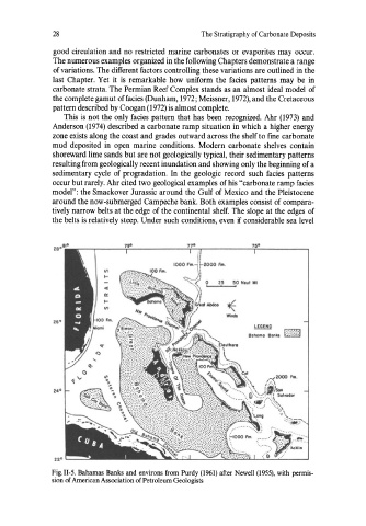
around the now-submerged Campeche bank. Both examples consist of compara-
tively narrow belts at the edge of the continental shelf. The slope at the edges of
the belts is relatively steep. Under such conditions, even if considerable sea level
25 50 Novl WI
aaha",a Ba"\.
22° '----=
Fig. II-5. Bahamas Banks and environs from Purdy (1961) after Newell (1955), with permis-
sion of American Association of Petroleum Geologists