
Page 35 - Urban water supply handbook
P. 35
URBAN WATER INFRASTRUCTURE: A HISTORICAL PERSPECTIVE
1.34 HISTORY, PLANNING, OUTSOURCING
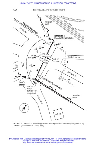
FIGURE 1.24 Map of the Porta Maggiore area showing the direction of the photographs in Fig.
1.25a to e. (Modified from Aicher, 1995)
Downloaded from Digital Engineering Library @ McGraw-Hill (www.digitalengineeringlibrary.com)
Copyright © 2004 The McGraw-Hill Companies. All rights reserved.
Any use is subject to the Terms of Use as given at the website.