
Page 248 - Build Your Own Quadcopter_ Power Up Your Designs with the Parallax Elev-8
P. 248
Chapter 8: GPS and a Real- T ime Situational Displa y 227
the red LED will be steady instead of blinking. The receiver’s hold sensitivity is much better
than the acquisition sensitivity, so the quadcopter can be put back to a horizontal position
while still locked onto the GPS signals.
Moving Map System
Note: The original intent of this section was to demonstrate how to display the quadcopter’s
position in real time by using the Google Earth application. Unfortunately, I was never able to
stream the raw GPS data successfully from the XBee transmitter to the ground-station XBee
receiver, and then into a laptop running Google Earth. However, I do show you how to manually
enter the coordinates as they are displayed on the LCD screen so that you can have a near real-
time location service.
I selected the Google Earth application for the moving map display because it
incorporates a very convenient interface that accepts serial GPS coordinates and can display
them on a computer screen in real time. This project was divided into several phases so that
I could experiment with the various technologies involved with the moving map and
determine how to best implement each phase. The first phase was simply to use an existing
hand-held GPS device plugged into a laptop running the Google Earth application.
Monitoring the Quadcopter Position
with the Google Earth Application
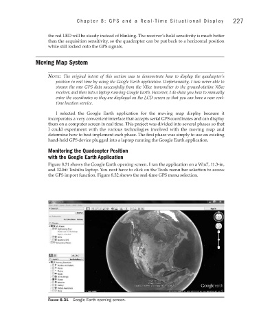
Figure 8.31 shows the Google Earth opening screen. I ran the application on a Win7, 11.3-in,
and 32-bit Toshiba laptop. You next have to click on the Tools menu bar selection to access
the GPS import function. Figure 8.32 shows the real-time GPS menu selection.
Figure 8.31 Google Earth opening screen.