
Page 217 - Fair, Geyer, and Okun's Water and wastewater engineering : water supply and wastewater removal
P. 217
JWCL344_ch05_154-193.qxd 8/2/10 9:44 PM Page 179
5.7 Location 179
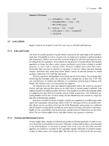
Solution 2 (SI System):
p = [670,000>(d + 152)] - 278
= [670,000>(609.6 + 152)] - 278
= 601.73 kPa gauge
P = [525>(d + 152) - 0.2] d 2
f
= [525>(609.6 + 152) - 0.2](609.6) 2
= 181,844 N
5.7 LOCATION
Supply conduits are located in much the same way as railroads and highways.
5.7.1 Line and Grade
The invert of a grade aqueduct or grade tunnel is placed on the same slope as the hydraulic
grade line. Cut and fill, as well as cut and cover, are balanced to maintain a uniform gradient
and reduce haul. Valleys and rivers that would be bridged by railroads and highways may
be bridged also by aqueducts. Such indeed was the practice of ancient Rome, but modern
aqueducts no longer rise above valley, stream, and hamlet except where a bridge is needed
primarily to carry road or railway traffic. Pressure conduits have taken their place.
Sometimes they are laid in trenches as sag pipes to traverse valleys and pass beneath
streams; sometimes they strike deep below Earth’s surface in pressure tunnels for which
geologic exploration fixes both line and grade.
Pressure aqueducts and pipelines move freely up and down slopes. For economy they
should hug the hydraulic grade line in profile and a straight line in plan (Fig. 5.10). The
size and thickness of conduit and difficulty of construction must be kept in balance with
length. The shortest route is not necessarily the cheapest.
Air released from the water and trapped at high points reduces the waterway, increases
friction, and may interrupt flow unless an air relief valve or vacuum pump is installed. True
siphons should be avoided if possible. However, if the height of rise above the hydraulic grade
is confined to less than 20 ft (6 m) and the velocity of flow is kept above 2 ft/s (0.60 m/s), op-
erating troubles will be few. For best results, the line should leave the summit at a slope less
than that of the hydraulic gradient.
In practice, possible locations of supply conduits are examined on available maps of the
region; the topographic and geologic sheets of the U.S. Geological Survey are useful exam-
ples. Route surveys are then carried into the field. Topography and geology are confirmed
and developed in needed detail, possibly by aerial surveys, borings, and seismic exploration.
Rights of way, accessibility of proposed routes, and the nature of obstructions are also iden-
tified. The use of joint rights-of-way with other utilities may generate economies.
5.7.2 Vertical and Horizontal Curves
In long supply lines, changes in direction and grade are effected gradually in order to con-
serve head and avoid unbalanced pressures. Masonry conduits built in place can be brought
to any desired degree of curvature by proper form work. Cast-iron and other sectional
pipelines are limited in curvature by the maximum angular deflection of standard lengths
of pipe at which joints will remain tight. The desired curve is built up by the necessary