
Page 41 - Hydrocarbon Exploration and Production Second Edition
P. 41
28 Exploration Methods and Techniques
magnetisation measured distance along profile line
muds
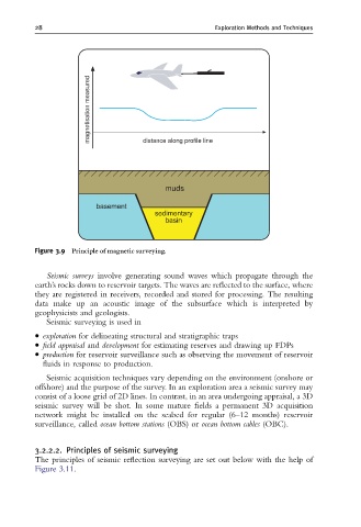
Figure 3.9 Principle of magnetic surveying.
Seismic surveys involve generating sound waves which propagate through the
earth’s rocks down to reservoir targets. The waves are reflected to the surface, where
they are registered in receivers, recorded and stored for processing. The resulting
data make up an acoustic image of the subsurface which is interpreted by
geophysicists and geologists.
Seismic surveying is used in
exploration for delineating structural and stratigraphic traps
field appraisal and development for estimating reserves and drawing up FDPs
production for reservoir surveillance such as observing the movement of reservoir
fluids in response to production.
Seismic acquisition techniques vary depending on the environment (onshore or
offshore) and the purpose of the survey. In an exploration area a seismic survey may
consist of a loose grid of 2D lines. In contrast, in an area undergoing appraisal, a 3D
seismic survey will be shot. In some mature fields a permanent 3D acquisition
network might be installed on the seabed for regular (6–12 months) reservoir
surveillance, called ocean bottom stations (OBS) or ocean bottom cables (OBC).
3.2.2.2. Principles of seismic surveying
The principles of seismic reflection surveying are set out below with the help of
Figure 3.11.