
Page 257 - Introduction to AI Robotics
P. 257
240
6 Common Sensing Techniques for Reactive Robots
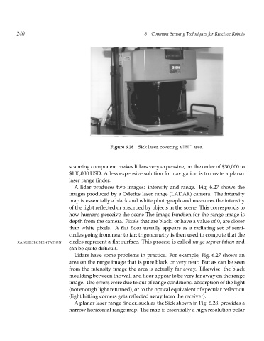
Figure 6.28 Sick laser, covering a 180 area.
scanning component makes lidars very expensive, on the order of $30,000 to
$100,000 USD. A less expensive solution for navigation is to create a planar
laser range finder.
A lidar produces two images: intensity and range. Fig. 6.27 shows the
images produced by a Odetics laser range (LADAR) camera. The intensity
map is essentially a black and white photograph and measures the intensity
of the light reflected or absorbed by objects in the scene. This corresponds to
how humans perceive the scene The image function for the range image is
depth from the camera. Pixels that are black, or have a value of 0, are closer
than white pixels. A flat floor usually appears as a radiating set of semi-
circles going from near to far; trigonometry is then used to compute that the
RANGE SEGMENTATION circles represent a flat surface. This process is called range segmentation and
can be quite difficult.
Lidars have some problems in practice. For example, Fig. 6.27 shows an
area on the range image that is pure black or very near. But as can be seen
from the intensity image the area is actually far away. Likewise, the black
moulding between the wall and floor appear to be very far away on the range
image. The errors were due to out of range conditions, absorption of the light
(not enough light returned), or to the optical equivalent of specular reflection
(light hitting corners gets reflected away from the receiver).
A planar laser range finder, such as the Sick shown in Fig. 6.28, provides a
narrow horizontal range map. The map is essentially a high resolution polar