
Page 405 - Laboratory Manual in Physical Geology
P. 405
A CTIVIT Y 14.4 Dryland Lakes of Utah
Name: _____________________________________ Course/Section: _______________ Date: ___________
Refer to FIGURE 14.8 (stereogram) and the Frisco Peak topographic map on the back of this page.
A. What specific type of feature is the Wah Wah Valley Hardpan?
B. If the Wah Wah Valley Hardpan were to fill with water, then how
deep could the lake become before it overflows to the northeast
(along the jeep trail, near the red number 27)? Show your work.
C. On FIGURE 14.8 , notice the lines beneath the letters X and Y .
They are low, steplike terraces that go all around the valley
(like bathtub rings). How do you think these terraces formed?
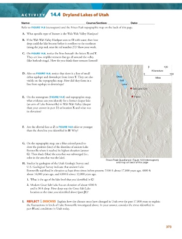
0 100
Kilometers
D. Also on FIGURE 14.8 , notice that there is a line of small 0 100
deltas upslope and downslope from letter Y . They are also Great Miles
visible on the topographic map. How did they form in a Salt
line from upslope to downslope? Lake
Salt Lake City
E. On the stereogram ( FIGURE 14.8 ) and topographic map, Provo
what evidence can you identify for a former deeper lake
(an arm of Lake Bonneville) in Wah Wah Valley (deeper
than your answer in part D) at location X and what was
its elevation?
F. Are the alluvial fans at Z in FIGURE 14.8 older or younger
than the shoreline you identified in B? Why?
G. On the topographic map, use a blue colored pencil to
draw the position (line) of the shoreline of ancient Lake
Bonneville where it reached its highest elevation (answer
G ). Then shade (blue) the area that was submerged (i.e.,
color in the area that was the lake).
Frisco Peak Quadrangle: Figure 14.8 (stereogram)
and map on back of this page
H. Studies by geologists of the Utah Geologic Survey and
U.S. Geological Survey indicate that ancient Lake
Bonneville stabilized in elevation at least three times before present: 5100 ft about 17,000 years ago, 4800 ft
about 16,000 years ago, and 4300 ft about 12,000 years ago.
1. What is the age of the lake level that you identified in G ?
2. Modern Great Salt Lake has an elevation of about 4200 ft
and is 30 ft deep. How deep was the Great Salt Lake
location at the time you identified above (part J1 )?
I. REFLECT & DISCUSS Explain how the climate must have changed in Utah over the past 17,000 years to explain
the fluctuations in levels of Lake Bonneville investigated above. In your answer, consider the times identified in
part H and conditions in Utah today.
373