
Page 71 - Laboratory Manual in Physical Geology
P. 71
6. Return to the JPL-NASA Time Series website, and click on “Geodetic Positions and Velocities” above the map. Scroll
down to the name of your station, and record its current coordinate position in latitude and longitude below. For latitude,
notice that a positive number indicates degrees North Latitude, and a negative number indicates degrees South Latitude.
For longitude, a positive number indicates degrees East Longitude, and a negative number indicates West Longitude.
Current Latitude: ____________________________ Current Longitude: ____________________________
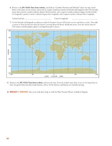
7. Use the latitude and longitude coordinates to plot the location of your GPS station on the map below as a dot. Then add
an arrow to show the direction that the station is moving (from #4 above). Beside the arrow, write the velocity that the
GPS station (and lithospheric plate) is moving (from part 5 above).
+90
+60
+30
Latitude 0
–30
–60
–90
–180 –90 0 +90 +180
(west) Longitude (east)
C. Return to the JPL-NASA Time Series website , and view the map. From the website map, draw arrows on the map above to
show the general direction that South America, Africa, North America, and Europe are currently moving.
D. REFLECT & DISCUSS Does your work above help to verify the Plate Tectonic Theory or falsify it? Explain.
56