
Page 115 - Satellite Communications, Fourth Edition
P. 115
The Geostationary Orbit 95
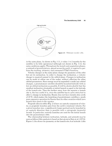
Figure 3.10 Hohmann transfer orbit.
in the same plane. As shown in Fig. 3.11, it takes 1 to 2 months for the
satellite to be fully operational (although not shown in Fig. 3.12, the
same conditions apply). Throughout the launch and acquisition phases,
a network of ground stations, spread across the earth, is required to per-
form the tracking, telemetry, and command (TT&C) functions.
Velocity changes in the same plane change the geometry of the orbit
but not its inclination. In order to change the inclination, a velocity
change is required normal to the orbital plane. Changes in inclination
can be made at either one of the nodes, without affecting the other
orbital parameters. Since energy must be expended to make any orbital
changes, a geostationary satellite should be launched initially with as
low an orbital inclination as possible. It will be shown shortly that the
smallest inclination obtainable at initial launch is equal to the latitude
of the launch site. Thus the farther away from the equator a launch
site is, the less useful it is, since the satellite has to carry extra fuel to
effect a change in inclination. Russia does not have launch sites south
of 45°N, which makes the launching of geostationary satellites a much
more expensive operation for Russia than for other countries which have
launch sites closer to the equator.
Prograde (direct) orbits (Fig. 2.4) have an easterly component of veloc-
ity, so prograde launches gain from the earth’s rotational velocity. For
a given launcher size, a significantly larger payload can be launched in
an easterly direction than is possible with a retrograde (westerly)
launch. In particular, easterly launches are used for the initial launch
into the geostationary orbit.
The relationship between inclination, latitude, and azimuth may be
seen as follows [this analysis is based on that given in Bate et al. (1971)].
Figure 3.13a shows the geometry at the launch site A at latitude l (the