
Page 82 - Satellite Communications, Fourth Edition
P. 82
62 Chapter Two
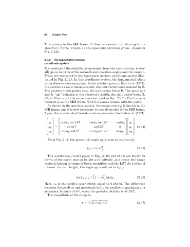
This gives in the IJK frame. It then remains to transform to the
observer’s frame, known as the topocentric-horizon frame, shown in
Fig. 2.12b.
2.9.8 The topocentric-horizon
coordinate system
The position of the satellite, as measured from the earth station, is usu-
ally given in terms of the azimuth and elevation angles and the range r.
These are measured in the topocentric-horizon coordinate system illus-
trated in Fig. 2.12b. In this coordinate system, the fundamental plane
is the observer’s horizon plane. In the notation given in Bate et al. (1971),
the positive x axis is taken as south, the unit vector being denoted by S.
The positive y axis points east, the unit vector being E. The positive z
axis is “up,” pointing to the observer’s zenith, the unit vector being Z.
(Note: This is not the same z as that used in Sec. 2.9.7.) The frame is
referred to as the SEZ frame, which of course rotates with the earth.
As shown in the previous section, the range vector is known in the
IJK frame, and it is now necessary to transform this to the SEZ frame.
Again, this is a standard transformation procedure. See Bate et al. (1971).
sin cos LST sin sin LST cos
S E E E I
≥ ¥ ≥ sin LST cos LST 0 ¥≥ ¥ (2.44)
E
J
Z cos cos LST cos sin LST sin E K
E
E
From Fig. 2.11, the geocentric angle y is seen to be given by
E
z
5 arctan (2.45)
E
l
The coordinates l and z given in Eqs. (2.40) and (2.42) are known in
terms of the earth station height and latitude, and hence the range
vector is known in terms of these quantities and the LST. As a point of
interest, for zero height, the angle y is related to l by
E
E
2
tan E(H50) 5 Q1 e R tan l E (2.46)
E
is the earth’s eccentricity, equal to 0.08182. The difference
Here, e E
between the geodetic and geocentric latitudes reaches a maximum at a
geocentric latitude of 45°, when the geodetic latitude is 45.192°.
The magnitude of the range is
2
2
2 2 Z (2.47)
E
S