
Page 186 - Well Logging and Formation Evaluation
P. 186
176 Well Logging and Formation Evaluation
E y = E h *sin (declination ) (12.1.10)
E z = E v . (12.1.11)
From the survey well deviation data it is possible, for each survey point,
to define a Cartesian unit vector RVEC, along the well trajectory. The HS
direction is derived by first considering a unit vector 90 degrees clock-
wise from HS in the sensor plane, called HSR.
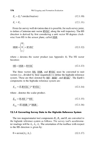
0
Ê ˆ
HSR = Á ˜ Ÿ0 RVEC (12.1.12)
Á ˜
Ë ¯ 1
where Ÿ denotes the vector product (see Appendix 4). The HS vector
becomes:
HS = HSR Ÿ RVEC (12.1.13)
The three vectors HS, HSR, and RVEC must be converted to unit
vectors (i.e., divided by their magnitude) to define the highside reference
Ÿ
Ÿ
Ÿ
system. These are then denoted by HS , HSR , and RVEC . The Earth’s
components in the highside reference system are:
Ÿ
)
E = (E.RVEC * RVEC Ÿ (12.1.14)
ax
where . denotes the scalar product.
)
Ÿ
E = (E.HS *HS Ÿ (12.1.15)
hs
Ÿ
E = (E.HSR Ÿ )*HSR . (12.1.16)
hsr
12.1.4 Converting Survey Data to the Highside Reference System
The raw magnetometer tool components B x, B y, and B z are converted to
the highside reference system as follows. The survey tool’s accelerome-
ter readings will be A x, A y, A z. The orientation of the toolface with respect
to the HS direction is given by:
q= arctan (AA x ). (12.1.17)
y