
Page 353 - Laboratory Manual in Physical Geology
P. 353
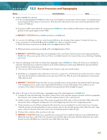
A CTIVIT Y   12.2  Karst Processes and Topography


                   Name: ______________________________________   Course/Section: ______________________   Date: ___________

                  A.     Analyze  FIGURES  12.4    and    12.5   .


                   1.   In the area photographed in  FIGURE   12.4 , there is no soil developed on the limestone bedrock surface, yet abundant plants


                     are growing along linear features in the bedrock. What does this indicate about how water travels through bedrock under
                     this part of Oklahoma?
                      2.   If you had to drill a water well in the area pictured in  FIGURE  12.4 , where would you drill (relative to the pattern of plant


                     growth) to find a good supply of water? Why?
                   3.     REFLECT & DISCUSS  How is  FIGURE  12.5    related to  FIGURE  12.4   ?


                  B.   It is common for buildings to sink into newly formed sinkholes as they develop in karst regions. Consider the three new-
                   home construction sites (labeled  A, B,  and  C ) in  FIGURE  12.2 , relative to sinkhole hazards.


                       1.   Which new-home construction site ( A, B,  or  C ) is the  most  hazardous? Why?


                      2.   Which new-home construction site ( A, B,  or  C ) is the  least  hazardous? Why?
                      3.      REFLECT & DISCUSS  Imagine that you are planning to buy a new-home construction site in the region portrayed in
                      FIGURE   12.2 . What could you do to find out if there is a sinkhole hazard in the location where you are thinking of building


                     your home?

                  C.   Study the orthoimage of the Park City (Kentucky) topographic map in  FIGURE  12.3 . Almost all of this area is underlain by


                   limestone. The limestone is overlain by sandstone in the small northern part of this image (Bald Knob, Opossum Hollow)
                   that is covered by dense dark green trees.

                       1.   How can you tell the area on this orthoimage where limestone crops out at Earth’s surface?

                      2.   Recall that on a topographic map, a depression is shown by a contour line, with hachures (tic marks), that forms a closed
                      loop. Describe the pattern of depressions on the topo map of Park City. Why do some of the depressions contain ponds,
                      while others do not?
                      3.     REFLECT & DISCUSS  Notice that there are many naturally formed circular ponds in the northwest half of the image.
                      (The triangular ponds are surface water impounded behind dams constructed by people.) How could you use the
                      elevations of the surfaces of the ponds to determine how groundwater flows through this region?


                  D.   Refer to the map on the back of this page, a topographic map of the orthoimaged area in  FIGURE  12.3   .


                       1.   Compare the map and orthoimage, then draw a contact (line) on the map that separates limestone with karst topography
                      from forested, more resistant sandstone. Color the sandstone bedrock with a colored pencil.
                      2.   Gardner Creek is a  disappearing stream . Place arrows along all parts of the creek to show its direction of flow, then circle

                      the location where it disappears underground. Circle the disappearing end of two other disappearing streams.
                      3.   Notice that there are nine different springs that flow from the east-west trending hill on which Apple Grove is located.

                      Label the elevation of each spring (where it starts a stream), then use the elevation points to draw a flow line with a large
                      arrow to show the direction that water travels down the hydraulic gradient within the hill.

                      4.   Find and label a solution valley anywhere on the map.
                      5.      REFLECT & DISCUSS  Notice that a pond has been constructed on the sandstone bedrock on top of Bald Knob and
                      filled with water from a well. If the well is located on the dark blue edge of the pond, then how deep below that surface
                      location was the well drilled just to reach the water table? Show your work.


                                                                                                                 323