
Page 32 - Modern Spatiotemporal Geostatistics
P. 32
Spatiotemporal Mapping in Natural Sciences 13
In modern geostatistics, the epistemic process that leads to a spatiotem-
poral map is a combination of theoretical concepts, physical knowledge, as-
sumptions, models, etc. that goes far beyond the pure inductive framework
of accumulating and massaging observational data. Observational data are
always expressed in the language of a scientific theory and will be as precise
as is the theoretical and conceptual framework they use. Then, on the basis
of a meaningful map, theoretical interpretation can lead to a useful picture of
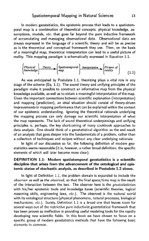
reality. This mapping paradigm is schematically expressed in Equation 1.1.
As was anticipated by Postulate 1.1, theorizing plays a vital role in any
stage of the scheme (Eq. 1.1). The sound theory and unifying principles of the
paradigm make it possible to construct an informative map from the physical
knowledge available, as well as to obtain a meaningful interpretation of the map.
Given the important connections between scientific explanation (interpretation)
and mapping (prediction), an ideal situation should consist of theory-driven
improvements in mapping performance that can be explained within the context
of our epistemic understanding. Ignoring the theoretical rationale underlying
the mapping process can only damage our scientific interpretation of what
the map represents. The lack of sound theoretical underpinnings and unifying
principles is, perhaps, the key shortcoming of many cookbook approaches to
data analysis. One should think of a geostatistical algorithm as the end result
of an analysis that goes deeper into the fundamentals of a problem, rather than
a collection of techniques and recipes without any clear underlying rationale.
In light of our discussion so far, the following definition of modern geo-
statistics seems reasonable (it is, however, a rather broad definition, the specific
elements of which will later become more clear).
DEFINITION 1.1: Modern spatiotemporal geostatistics is a scientific
discipline that arises from the advancement of the ontological and epis-
temic status of stochastic analysis, as described in Postulate 1.2 above.
In light of Definition 1.1, the problem domain is expanded to include the
observer as well as the observed, so that the final space/time map is the result
of the interaction between the two. The observer here is the geostatistician
with his/her epistemic tools and knowledge bases (scientific theories, logical
reasoning skills, engineering laws, etc.). The observed is the natural world
with its ontological structure (physical phenomena, natural processes, biological
mechanisms, etc.). Surely, Definition 1.1 is a broad one that leaves room for
several ways out of the restrictive pure inductivist geostatistical framework that
has been proven so ineffective in providing useful modeling tools for the rapidly
developing new scientific fields. In this book we have chosen to focus on a
specific group of modern geostatistics methods that have the following basic
elements in common.