
Page 120 - Statistics and Data Analysis in Geology
P. 120
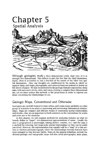
Chapter 5


              Spatial Analysis


             Although  geologists  study a three-dimensional world,  their  view  of  it  is
             strongly two dimensional.  This reflects in part the fact that the third dimension,
             depth, often is accessible to only a fraction of  the extent  of  the other two spa-
             tial  dimensions.  Also, our thoughts are conditioned  by  the media  in which we
             express them, and maps, photographs, and cross-sections are printed or drawn on
             flat sheets of paper. We may be interested in the geologic features exposed in a deep
             mine with successive levels, adits, and raises creating a complex three-dimensional
             net, yet we must reduce this network to flat projections in order to express our
             ideas concerning the relationships we see.


              Geologic Maps, Conventional and Otherwise

             Geologists are carefully trained to read, utilize, and create maps; probably no other
             group of  scientists is as adept at expressing and envisioning dimensional relation-
             ships.  Maps are compact and efficient means of  expressing spatial relationships
             and details-they  are as important to Earth scientists as the conventions for scales
             and notes are to the musician.
                 In this chapter, we will examine methods for analyzing features on what we
             loosely define as “maps”: two-dimensional representations  of  areas.  Usually the
              area is geographical (a quadrangle, mining district, country, etc.)  and the map is
              a method for reducing very large-scale spatial relationships so they can be easily
             perceived. However, the representation may equally well be a “map” of  a thin sec-
              tion or electron photomicrograph, where the relationships between features have
             been enlarged so they become visible. Maps, in this general definition, include tra-
              ditional geologic and topographic maps and also aerial photographs, mine plans,