
Page 295 - Water Loss Control
P. 295
264 Cha pte r S i x tee n
Once a list of necessary features has been created, a careful desktop review must be
undertaken to determine which features are present and usable from existing informa-
tion sources, what is present but out-of-date, and what is missing altogether. Once this
information is known, teams can be assembled to collect the necessary data.
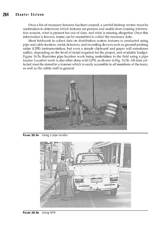
Most fieldwork to collect data on distribution system features is conducted using
pipe and cable locators, metal detectors, and recording devices such as ground-probing
radar (GPR) instrumentation, but even a simple clipboard and paper will sometimes
suffice, depending on the level of detail required for the project, and available budget.
Figure 16.5a illustrates pipe location work being undertaken in the field using a pipe
locator. Location work is also often done with GPR, as shown in Fig. 16.5b. All data col-
lected must be stored in a manner which is easily accessible to all members of the team,
as well as the utility staff in general.
FIGURE 16.5A Using a pipe locator.
FIGURE 16.5B Using GPR.