
Page 60 - Moving the Earth_ The Workbook of Excavation
P. 60
SURVEYS AND MEASUREMENTS
2.10 THE WORK
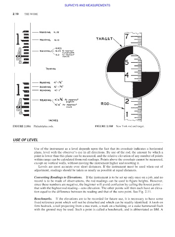
FIGURE 2.10A Philadelphia rods. FIGURE 2.10B New York rod and target.
USE OF LEVEL
Use of the instrument as a level depends upon the fact that its crosshair indicates a horizontal
plane, level with the observer’s eye in all directions. By use of the rod, the amount by which a
point is lower than this plane can be measured, and the relative elevation of any number of points
within range can be calculated from rod readings. Points above the crosshair cannot be measured,
except on vertical walls, without moving the instrument higher and resetting it.
Levels are most accurate over short distances. If the instrument must be used when out of
adjustment, readings should be taken as nearly as possible at equal distances.
Converting Readings to Elevations. If the instrument is to be set up only once on a job, and no
record is to be made of observations, the rod readings can be used to figure heights. However,
since these numbers are negative, the beginner will avoid confusion by calling the lowest point—
that with the highest rod reading—zero elevation. The other points will then each have an eleva-
tion equal to the difference between its reading and that of the zero point. See Fig. 2.11.
Benchmarks. If the elevations are to be recorded for future use, it is necessary to have some
fixed reference point which will not be disturbed and which can be readily identified. A knob on
firm bedrock, a nail projecting from a tree trunk, a mark on a building, or a stake hammered flush
with the ground may be used. Such a point is called a benchmark, and is abbreviated as BM. A