
Page 124 - Advances in Renewable Energies and Power Technologies
P. 124
6. Forecasting Methods for Different Forecast Horizons 97
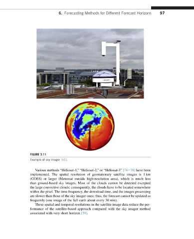
FIGURE 3.11
Example of sky imager [61].
Various methods “Heliosat-1,” “Heliosat-2,” or “Heliosat-3” [74e78] have been
implemented. The spatial resolution of geostationary satellite images is 1 km
(GOES) or larger (Meteosat outside high-resolution area), which is much less
than ground-based sky images. Most of the clouds cannot be detected excepted
the large convective clouds; consequently, the clouds have to be located somewhere
within the pixel. The time frequency, the download time, and the images processing
are slower than those of the sky imager ones; thus, the forecast cannot be updated as
frequently (one image of the full earth about every 30 min).
These spatial and temporal resolutions in the satellite image data reduce the per-
formance of the satellite-based approach compared with the sky imager method
associated with very short horizon [59].