
Page 46 - Hydrocarbon
P. 46
Exploration 33
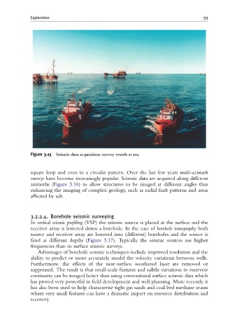
Figure 3.15 Seismic data acquisition: survey vessels at sea.
square loop and even in a circular pattern. Over the last few years multi-azimuth
surveys have become increasingly popular. Seismic data are acquired along different
azimuths (Figure 3.16) to allow structures to be imaged at different angles thus
enhancing the imaging of complex geology, such as radial fault patterns and areas
affected by salt.
3.2.2.4. Borehole seismic surveying
In vertical seismic profiling (VSP) the seismic source is placed at the surface and the
receiver array is lowered down a borehole. In the case of borehole tomography both
source and receiver array are lowered into (different) boreholes and the source is
fired at different depths (Figure 3.17). Typically the seismic sources use higher
frequencies than in surface seismic surveys.
Advantages of borehole seismic techniques include improved resolution and the
ability to predict or more accurately model the velocity variations between wells.
Furthermore, the effects of the near-surface weathered layer are removed or
suppressed. The result is that small-scale features and subtle variations in reservoir
continuity can be imaged better than using conventional surface seismic data which
has proved very powerful in field development and well planning. More recently it
has also been used to help characterise tight gas sands and coal bed methane seams
where very small features can have a dramatic impact on resource distribution and
recovery.