
Page 157 - MATLAB Recipes for Earth Sciences
P. 157
152 7 Spatial Data
tions. An alternative and very useful mapping toolbox by Rich Pawlowicz
(Earth and Ocean Sciences at the Unversity of British Columbia) is avail-
able from
http://www2.ocgy.ubc.ca/~rich
The handling and processing of large spatial data sets also requires a power-
ful computing system with at least 1 GB physical memory.
7.2 The GSHHS Shoreline Data Set
The global self-consistent, hierarchical, high-resolution shoreline data
base GSHHS is amalgamated from two public domain data bases by Paul
Wessel (SOEST, University of Hawaii, Honolulu, HI) and Walter Smith
(NOAA Laboratory for Satellite Altimetry, Silver Spring, MD). On the web
page of the US National Geophysical Data Center (NGDC)
http://www.ngdc.noaa.gov/mgg/shorelines/shorelines.html
the coastline vector data can be downloaded as MATLAB vector data. First
we define the geographic range of interest as decimal degrees with west
and south denoted by a negative sign. For example, the East African coast
would be displayed on the latitude between 0 and +15 degrees and longitude
of +40 to +50 degrees. Subsequently, it is important to choose the coastline
data base from which the data is to be extracted. As an example, the World
Data Bank II provides maps at the scale 1 : 2,000,000. Finally, the compres-
sion method is set to None for the ASCII data that have been extracted. The
data format is set to be MATLAB and GMT Preview is enabled. The result-
ing GMT map and a link to the raw text data can be displayed by pressing
the Submit – Extract button at the end of the web page. By opening the 228
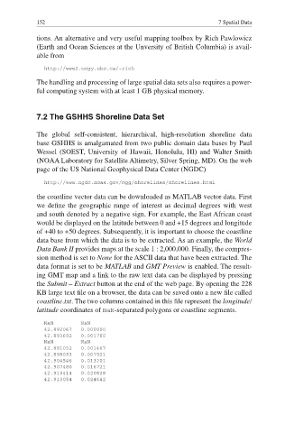
KB large text file on a browser, the data can be saved onto a new fi le called
coastline.txt. The two columns contained in this file represent the longitude/
latitude coordinates of NaN-separated polygons or coastline segments.
NaN NaN
42.892067 0.000000
42.893692 0.001760
NaN NaN
42.891052 0.001467
42.898093 0.007921
42.904546 0.013201
42.907480 0.016721
42.910414 0.020828
42.913054 0.024642