
Page 160 - MATLAB Recipes for Earth Sciences
P. 160
7.3 The 2-Minute Gridded Global Elevation Data ETOPO2 155
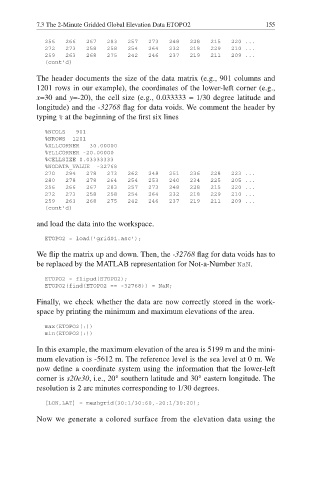
256 266 267 283 257 273 248 228 215 220 ...
272 273 258 258 254 264 232 218 229 210 ...
259 263 268 275 242 246 237 219 211 209 ...
(cont'd)
The header documents the size of the data matrix (e.g., 901 columns and
1201 rows in our example), the coordinates of the lower-left corner (e.g.,
x=30 and y=-20), the cell size (e.g., 0.033333 = 1/30 degree latitude and
longitude) and the -32768 flag for data voids. We comment the header by
typing % at the beginning of the fi rst six lines
%NCOLS 901
%NROWS 1201
%XLLCORNER 30.00000
%YLLCORNER -20.00000
%CELLSIZE 0.03333333
%NODATA_VALUE -32768
270 294 278 273 262 248 251 236 228 223 ...
280 278 278 264 254 253 240 234 225 205 ...
256 266 267 283 257 273 248 228 215 220 ...
272 273 258 258 254 264 232 218 229 210 ...
259 263 268 275 242 246 237 219 211 209 ...
(cont’d)
and load the data into the workspace.
ETOPO2 = load('grid01.asc');
We flip the matrix up and down. Then, the -32768 flag for data voids has to
be replaced by the MATLAB representation for Not-a-Number NaN.
ETOPO2 = flipud(ETOPO2);
ETOPO2(find(ETOPO2 == -32768)) = NaN;
Finally, we check whether the data are now correctly stored in the work-
space by printing the minimum and maximum elevations of the area.
max(ETOPO2(:))
min(ETOPO2(:))
In this example, the maximum elevation of the area is 5199 m and the mini-
mum elevation is -5612 m. The reference level is the sea level at 0 m. We
now define a coordinate system using the information that the lower-left
corner is s20e30, i.e., 20° southern latitude and 30° eastern longitude. The
resolution is 2 arc minutes corresponding to 1/30 degrees.
[LON,LAT] = meshgrid(30:1/30:60,-20:1/30:20);
Now we generate a colored surface from the elevation data using the