
Page 314 - Geothermal Energy Systems Exploration, Development, and Utilization
P. 314
290 5 Geothermal Reservoir Simulation
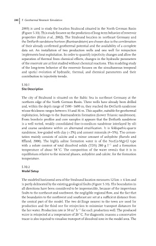
2003) is used to study the location Stralsund situated in the North German Basin
(Figure 5.33). This study focuses on the prediction of long-term behavior of reservoir
properties (K¨ uhn et al., 2002). The Stralsund location in northeast Germany and
the Detfurth sandstone horizon (Buntsandstein) are chosen due to the combination
of their already confirmed geothermal potential and the availability of a complete
data set. An installation of two production wells and one well for reinjection
implements heat exploitation. In order to quantify injectivity changes and allow the
separation of thermal from chemical effects, changes in the hydraulic parameters
of the reservoir are at first studied without chemical reactions. This modeling study
of the long-term behavior of the reservoir focuses on the simultaneous temporal
and spatial evolution of hydraulic, thermal, and chemical parameters and their
contribution to injectivity trends.
5.10.1
Site Description
The city of Stralsund is situated on the Baltic Sea in northeast Germany at the
northern edge of the North German Basin. Three wells have already been drilled
and, within the depth range of 1500–1600 m, they reached the Detfurth sandstone
whose thickness ranges between 33 and 36 m. This aquifer, suitable for geothermal
exploitation, belongs to the Buntsandstein formation (Lower Triassic sandstones).
From borehole profiles and core samples it appears that the Detfurth sandstone
is a well sorted, weakly consolidated fine-to-medium sandstone interlayed by silt
and coarse sandstone within an alternated stratification. It is feldspathic-quartz
sandstone, low-graded with clay (<2%) and cement minerals (4–5%). The cemen-
tation mainly consists of calcite and a minor amount of anhydrite (Bartels and
Iffland, 2000). The highly saline formation water is of the Na-(Ca-Mg)-Cl type
with a solute content of total dissolved solids (TDS) 280 g l −1 and a formation
◦
temperature of about 58 C. The composition of the water reveals that it is in
equilibrium relative to the mineral phases, anhydrite and calcite, for the formation
temperature.
5.10.2
Model Setup
The modeled horizontal area of the Stralsund location measures 12 km × 6km and
is partly delineated by the existing geological faults (Figure 5.33). The boundaries in
all directions have been considered to be impermeable, because of the impervious
faults to the northeast and southwest, the negligible regional flow, and the fact that
the boundaries to the northwest and southeast are set at a sufficient distance from
the central part of the model. The two drillings nearest to the town are used for
production and the third one for reinjection to minimize transport distances for
3
the hot water. Production rate is 50 m h −1 for each production well. The produced
◦
water is reinjected at a temperature of 20 C. For diagnostic reasons a conservative
tracer is also injected to visualize transport of dissolved ions in the model area. The