
Page 234 - Integrated Wireless Propagation Models
P. 234
212 C h a p t e r F o u r
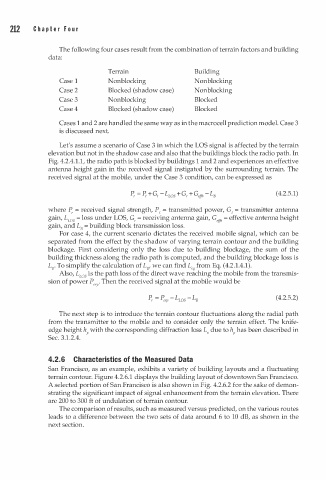
The following four cases result from the combination of terrain factors and building
data:
Terrain Building
Case 1 Nonblocking Nonblocking
Case 2 Blocked (shadow case) Nonblocking
Case 3 Nonblocking Blocked
Case 4 Blocked (shadow case) Blocked
Cases 1 and 2 are handled the same way as in the macrocell prediction model. Case 3
is discussed next.
Let's assume a scenario of Case 3 in which the LOS signal is affected by the terrain
elevation but not in the shadow case and also that the buildings block the radio path. In
Fig. 4.2.4.1.1, the radio path is blocked by buildings 1 and 2 and experiences an effective
antenna height gain in the received signal instigated by the surrounding terrain. The
received signal at the mobile, under the Case 3 condition, can be expressed as
(4.2.5.1)
where P, = received signal strength, P1 = transmitted power, G1 = transmitter antenna
gain, Lws = loss under LOS, G, = receiving antenna gain, G , = effective antenna height
ef fl
gain, and L8 b uilding block transmission loss.
=
For case 4, the current scenario dictates the received mobile signal, which can be
separated from the effect by the shadow of varying terrain contour and the building
blockage. First considering only the loss due to building blockage, the sum of the
building thickness along the radio path is computed, and the building blockage loss is
L8• To simplify the calculation of L8, we can find L, from Eq. (4.2.1.4.1).
q
Also, Lws is the path loss of the direct wave reaching the mobile from the transmis
sion of power P . Then the received signal at the mobile would be
erp
(4.2.5.2)
The next step is to introduce the terrain contour fluctuations along the radial path
from the transmitter to the mobile and to consider only the terrain effect. The knife
edge height h with the corresponding diffraction loss L due to h has been described in
v
Sec. 3.1.2.4. P P
4.2. 6 Characteristics of the Measured Data
San Francisco, as an example, exhibits a variety of building layouts and a fluctuating
terrain contour. Figure 4.2.6.1 displays the building layout of downtown San Francisco.
A selected portion of San Francisco is also shown in Fig. 4.2.6.2 for the sake of demon
strating the significant impact of signal enhancement from the terrain elevation. There
are 200 to 300 ft of undulation of terrain contour.
The comparison of results, such as measured versus predicted, on the various routes
leads to a difference between the two sets of data around 6 to 10 dB, as shown in the
next section.