
Page 130 - Fluid Power Engineering
P. 130
W i nd Measurement 107
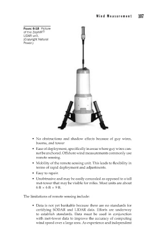
FIGURE 6-18 Picture
of the ZephIR R
LIDAR unit.
(Copyright Natural
Power.)
No obstructions and shadow effects because of guy wires,
booms, and tower
Ease of deployment, specifically in areas where guy wires can-
not be anchored. Offshore wind measurements commonly use
remote sensing.
Mobility of the remote sensing unit. This leads to flexibility in
terms of rapid deployment and adjustments.
Easy to repair.
Unobtrusive and may be easily concealed as opposed to a tall
met-tower that may be visible for miles. Most units are about
6ft × 6ft × 9 ft.
The limitations of remote sensing include:
Data is not yet bankable because there are no standards for
certifying SODAR and LIDAR data. Efforts are underway
to establish standards. Data must be used in conjunction
with met-tower data to improve the accuracy of computing
wind speed over a large area. As experience and independent