
Page 167 - Acquisition and Processing of Marine Seismic Data
P. 167
158 2. MARINE SEISMIC DATA ACQUISITION
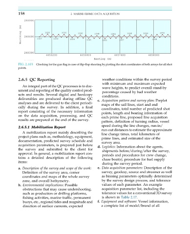
FIG. 2.103 Checking for the gun flag in case of flip-flop shooting by plotting the shot coordinates of both arrays for all shot
points.
2.6.5 QC Reporting weather conditions within the survey period
with minimum and maximum expected
An integral part of the QC processes is to doc- wave heights, to predict overall stand-by
ument and reporting of the quality control prod- percentage caused by bad weather
ucts and results. Several digital and hardcopy conditions.
deliverables are produced during offline QC c. Acquisition pattern and survey plan: Preplot
analyses and are delivered to the client periodi-
maps of the sail lines, start and end
cally during the survey. In addition, a final coordinates, total number of predicted shot
report consisting of the necessary information points, length and bearing information of
on the data acquisition, processing, and QC each prime line, proposed line acquisition
results are prepared at the end of the survey.
pattern, definition of turning radius, vessel
speed during the line changes, run-in/
2.6.5.1 Mobilization Report
run-out distances to estimate the approximate
A mobilization report mainly describing the line change times, total kilometers of
project plans such as, methodology, equipment,
prime lines, and estimated size of the
documentation, predicted survey schedule and
survey area.
acquisition parameters, is prepared just before
d. Logistics: Information about the agents,
the survey and submitted to the client for
shipments before/during/after the survey,
approval. In general, a mobilization report con-
periods and procedures for crew change,
tains a detailed description of the following
chase boat(s), procedure for fuel supply
items:
during the survey period.
a. Description of the survey and scope of the work: e. Data acquisition parameters: Description of the
Definition of the survey area, corner survey, geodesy, source and streamer as well
coordinates and maps of the whole survey as binning parameters optimally determined
zone, and overall bathymetry. by the survey design process, and tolerance
b. Environmental implications: Possible values of each parameter. An example
obstructions that may cause undershooting, acquisition parameter list, including the
such as production or drilling platforms, tolerance values for a conventional 3D survey
fishing activities, marine traffic, permanent is shown in Table 2.17.
buoys, etc., regional tides and magnitude and f. Equipment and software: Vessel information,
direction of surface currents, expected a complete list of model/brand of all