
Page 284 - Build Your Own Quadcopter_ Power Up Your Designs with the Parallax Elev-8
P. 284
Chapter 9: Airbor ne V ideo Systems 263
<trkseg>
<trkpt lat=”43.23794960975521” lon=”-71.04583740234169”>
<ele>61.0</ele>
<time>2013-10-26T14:00:26Z</time>
<extensions>
<ogt10:accuracy>9.487171173095703</ogt10:accuracy></extensions>
</trkpt>
<trkpt lat=”43.237617015837365” lon=”-71.04948520660194”>
<ele>35.0</ele>
<time>2013-10-26T14:02:16Z</time>
<extensions>
<ogt10:accuracy>45.59917449951172</ogt10:accuracy></extensions>
</trkpt>
<trkpt lat=”43.23302507400387” lon=”-71.05446338653358”>
<ele>-23.0</ele>
XML employs user-generated tags to delimit the data. An example from the above data
snippet is:
<time>2013-10-26T14:00:26Z</time>
where <time> is the beginning tag and </time> is the ending tag. Everything between the
tags is data that can be extracted by an XML parser application. XML is a versatile data
interchange format that is rapidly becoming the mainstream way to tranfer data in most
software applications and Web services.
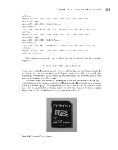
The second input file needed for geotagging is the one containing all the images. I
created this second file by removing the microSD card from the Hero 3 camera and mounting
it on my Windows laptop. You will probably need an adapter to hold the microSD card so
that it can be inserted into a standard laptop SD card port. Figure 9.47 shows a typical
adapter that is often provided when you purchase a microSD card.
Figure 9.47 A microSD card adapter.