
Page 338 - Laboratory Manual in Physical Geology
P. 338
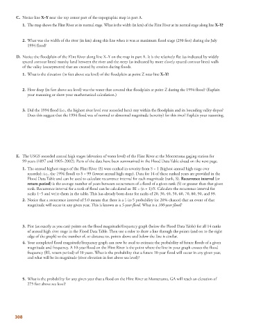
C.     Notice line  X–Y  near the top center part of the topographic map in part A.
                1.   The map shows the Flint River at its normal stage. What is the width (in km) of the Flint River at its normal stage along line  X–Y?


               2.   What was the width of the river (in km) along this line when it was at maximum flood stage (290 feet) during the July
              1994 flood?


           D.   Notice the floodplain of the Flint River along line X–Y on the map in part A. It is the relatively flat (as indicated by widely

            spaced contour lines) marshy land between the river and the steep (as indicated by more closely spaced contour lines) walls
            of the valley (escarpments) that are created by erosion during floods.

                1.   What is the elevation (in feet above sea level) of the floodplain at point Z near line  X–Y?


               2.   How deep (in feet above sea level) was the water that covered that floodplain at point Z during the 1994 flood? (Explain
              your reasoning or show your mathematical calculation.)


               3.   Did the 1994 flood (i.e., the highest river level ever recorded here) stay within the floodplain and its bounding valley slopes?
              Does this suggest that the 1994 flood was of normal or abnormal magnitude (severity) for this river? Explain your reasoning.


           E.   The USGS recorded annual high stages (elevation of water level) of the Flint River at the Montezuma gaging station for
            99 years (1897 and 1905–2002). Parts of the data have been summarized in the Flood Data Table ahead on the next page.

                1.   The annual highest stages of the Flint River (S) were ranked in severity from S = 1 (highest annual high stage ever
              recorded; i.e., the 1994 flood) to S = 99 (lowest annual high stage). Data for 14 of these ranked years are provided in the
              Flood Data Table and can be used to calculate recurrence interval for each magnitude (rank, S).  Recurrence interval  (or
                return period ) is the average number of years between occurrences of a flood of a given rank (S) or greater than that given
              rank. Recurrence interval for a rank of flood can be calculated as: RI = (n + 1)/S. Calculate the recurrence interval for
              ranks 1–5 and write them in the table. This has already been done for ranks of 20, 30, 40, 50, 60, 70, 80, 90, and 99.

               2.   Notice that a recurrence interval of 5.0 means that there is a 1-in-5 probability (or 20% chance) that an event of that
              magnitude will occur in any given year. This is known as a  5-year flood . What is a  100-year flood?


               3.   Plot (as exactly as you can) points on the flood magnitude/frequency graph (below the Flood Data Table) for all 14 ranks
              of annual high river stage in the Flood Data Table. Then use a ruler to draw a line through the points (and on to the right
              edge of the graph) so the number of, or distance to, points above and below the line is similar.

               4.   Your completed flood magnitude/frequency graph can now be used to estimate the probability of future floods of a given
              magnitude and frequency. A 10-year flood on the Flint River is the point where the line in your graph crosses the flood
              frequency (RI, return period) of 10 years. What is the probability that a future 10-year flood will occur in any given year,
              and what will be its magnitude (river elevation in feet above sea level)?


               5.   What is the probability for any given year that a flood on the Flint River at Montezuma, GA will reach an elevation of
              275 feet above sea level?


        308