
Page 335 - Laboratory Manual in Physical Geology
P. 335
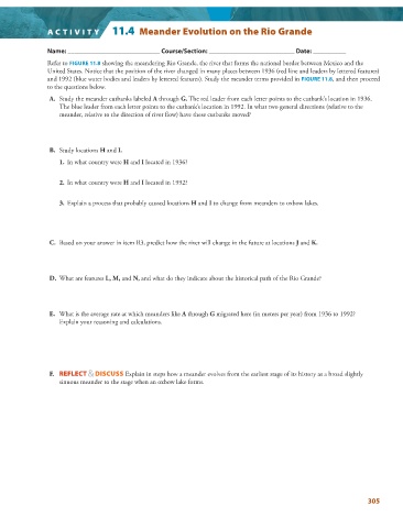
A CTIVIT Y   11.4  Meander Evolution on the Rio Grande


                 Name: ____________________________ Course/Section: __________________________ Date: __________


                 Refer to  FIGURE  11.8  showing the meandering Rio Grande, the river that forms the national border between Mexico and the

               United States. Notice that the position of the river changed in many places between 1936 (red line and leaders by lettered features)
               and 1992 (blue water bodies and leaders by lettered features). Study the meander terms provided in  FIGURE  11.8   , and then proceed

               to the questions below.


                  A.   Study the meander cutbanks labeled  A  through  G. The red leader from each letter points to the cutbank’s location in 1936.
                   The blue leader from each letter points to the cutbank’s location in 1992. In what two general directions (relative to the
                   meander, relative to the direction of river flow) have these cutbanks moved?


                  B.     Study locations  H  and  I.

                       1.   In what country were  H  and  I  located in 1936?

                   2.   In what country were  H  and  I  located in 1992?


                   3.   Explain a process that probably caused locations  H  and  I  to change from meanders to oxbow lakes.


                  C.   Based on your answer in item B3, predict how the river will change in the future at locations  J  and  K.


                  D.     What are features  L, M,  and  N,  and what do they indicate about the historical path of the Rio Grande?


                  E.   What is the average rate at which meanders like  A  through  G  migrated here (in meters per year) from 1936 to 1992?


                   Explain your reasoning and calculations.


                  F.       REFLECT & DISCUSS  Explain in steps how a meander evolves from the earliest stage of its history as a broad slightly
                   sinuous meander to the stage when an oxbow lake forms.


                                                                                                                 305