
Page 431 - Laboratory Manual in Physical Geology
P. 431
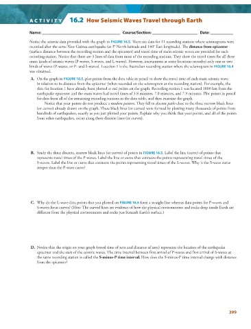
A CTIVIT Y        16.2  How Seismic Waves Travel through Earth


                 Name: ______________________________________   Course/Section: ______________________   Date: ___________


                   Notice the seismic data provided with the graph in  FIGURE   16.5   . There are data for 11 recording stations where seismograms were
               recorded after the same New Guinea earthquake (at 3° North latitude and 140° East longitude). Th e  distance from epicenter
               (surface distance between the recording station and the epicenter) and travel time of main seismic waves are provided for each

               recording station. Notice that there are 3 lines of data from most of the recording stations. They show the travel times for all three
               main kinds of seismic waves (P-waves, S-waves, and L-waves). However, instruments at some locations recorded only one or two
               kinds of waves (P-waves, or P- and S-waves). Location 1 is the Australian recording station where the seismogram in  FIGURE   16.4
               was obtained.

                  A.     On the graph in  FIGURE  16.5 , plot points from the data table in pencil to show the travel time of each main seismic wave


                   in relation to its distance from the epicenter (when recorded on the seismogram at the recording station). For example, the
                   data for location 1 have already been plotted as red points on the graph. Recording station 1 was located 1800 km from the
                   earthquake epicenter and the main waves had travel times of 3.8 minutes, 7.0 minutes, and 7.9 minutes. Plot points in pencil
                   for data from all of the remaining recording stations in the data table, and then examine the graph.
                       Notice that your points do not produce a  random pattern . They fall in  discrete paths  close to the three narrow black lines
                   (or curves) already drawn on the graph. These black lines (or curves) were formed by plotting many thousands of points from
                   hundreds of earthquakes, exactly as you just plotted your points. Explain why you think that your points, and all of the points
                   from other earthquakes, occur along three discrete lines (or curves).


                  B.   Study the three discrete, narrow black lines (or curves) of points in  FIGURE  16.5 . Label the line (curve) of points that


                   represents travel times of the P-waves. Label the line or curve that connects the points representing travel times of the
                   S-waves. Label the line or curve that connects the points representing travel times of the L-waves. Why is the S-wave curve
                   steeper than the P-wave curve?


                  C.   Why do the L-wave data points that you plotted on  FIGURE  16.5  form a straight line whereas data points for P-waves and


                   S-waves form curves? ( Hint: The curved lines are evidence of how the physical environments and rocks deep inside Earth are
                   different from the physical environments and rocks just beneath Earth’s surface.)


                  D.   Notice that the origin on your graph (travel time of zero and distance of zero) represents the location of the earthquake


                   epicenter and the start of the seismic waves. The time interval between first arrival of P-waves and first arrival of S-waves at
                   the same recording station is called the  S-minus-P time interval.  How does the S-minus-P time interval change with distance
                   from the epicenter?


                                                                                                                 399