
Page 178 - MATLAB Recipes for Earth Sciences
P. 178
7.9 Geostatistics (by R. Gebbers) 173
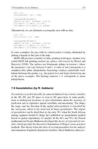
ZID = ZI;
ZID(find(ZID > 20)) = NaN;
contourf(XI,YI,ZID,v)
caxis([-40 40]), colorbar, hold on
plot(data(:,1),data(:,2),'ko')
text(data(:,1)+1,data(:,2),labels)
Alternatively, we can eliminate a rectangular area with no data.
ZID = ZI;
ZID(131:201,1:71) = NaN;
contourf(XI,YI,ZID,v)
caxis([-40 40]), colorbar, hold on
plot(data(:,1),data(:,2),'ko')
text(data(:,1)+1,data(:,2),labels)
In some examples, the area with no control points is simply eliminated by
putting a legend on this part of the map.
MATLAB provides a number of other gridding techniques. Another very
useful MATLAB gridding method are splines with tension by Wessel and
Bercovici (1998). The tsplines use biharmonic splines in tension t, where
the parameter t can vary between 0 and 1. A value of t=0 corresponds to a
standard cubic spline interpolation. Increasing t reduces undesirable oscil-
lations between data points, e.g., the paired lows and highs observed in one
of the above examples. The limiting situation t|1 corresponds to linear
interpolation.
7.9 Geostatistics (by R. Gebbers)
Geostatistics is used to describe the autocorrelation of one or more variables
in the 1D, 2D, and 3D space or even in 4D space-time, to make predic-
tions at unobserved locations, to give information about the accuracy of
prediction and to reproduce spatial variability and uncertainty. The shape,
the range, and the direction of the spatial autocorrelation is described by
the variogram, which is the main tool in linear geostatistics. The origins
of geostatistics can be dated back to the early 50·s when the South African
mining engineer Daniel G. Krige first published an interpolation method
based on spatial dependency of samples. In the 60·s and 70·s, the French
mathematician George Matheron developed the theory of regionalized vari-
ables which provides the theoretical foundations of Kriges·s more practical
methods. This theory forms the basis of several procedures for the analysis
and estimation of spatially dependent variables, which Matheron called geo-