
Page 186 - Geochemical Remote Sensing of The Sub-Surface
P. 186
Light hydrocarbons for petroleum and gas prospecting 163
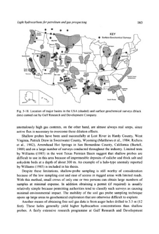
Fig. 5-18. Location of major basins in the USA (shaded) and surface geochemical surveys (black
dots) carried out by Gulf Research and Development Company.
anomalously high gas contents, on the other hand, are almost always real seeps, since
active flux is necessary to overcome these dilution effects.
Shallow probes have been used successfully at Lost River in Hardy County, West
Virginia, Patrick Draw in Sweetwater County, Wyoming (Matthews et al., 1984; Richers
et al., 1982), Arrowhead Hot Springs in San Bemardino County, Califomia (Burtell,
1988) and on a large number of surveys conducted throughout the industry. Limited tests
by Williams (1985) in the west Texas Permian Basin suggest that shallow probes are
difficult to use in this area because of impermeable deposits of caliche and thick salt and
anhydrite beds at a depth of about 300 m. An example of a halo-type anomaly reported
by Williams (1985) is included in his thesis.
Despite these limitations, shallow-probe sampling is still worthy of consideration
because of the low sampling cost and ease of access in rugged areas with limited roads.
With this method, small crews of only one or two persons can obtain large numbers of
samples at minimal expense. In addition obtaining a permit (if required) is usually
relatively simple because permitting authorities tend to classify such surveys as causing
minimal environmental impact. The mobility of the soil gas probe sampling technique
opens up large areas to geochemical exploration that are otherwise difficult to explore.
Another means of obtaining free soil gas data is from auger holes drilled to 3.5 m (12
feet). These holes generally yield higher hydrocarbon concentrations than shallow
probes. A fairly extensive research programme at Gulf Research and Development